“Don’t count the days. Make the days count.” ~ Muhammad Ali
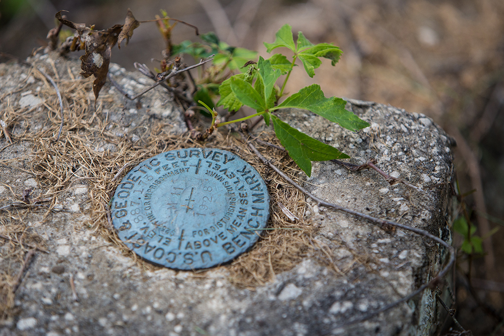
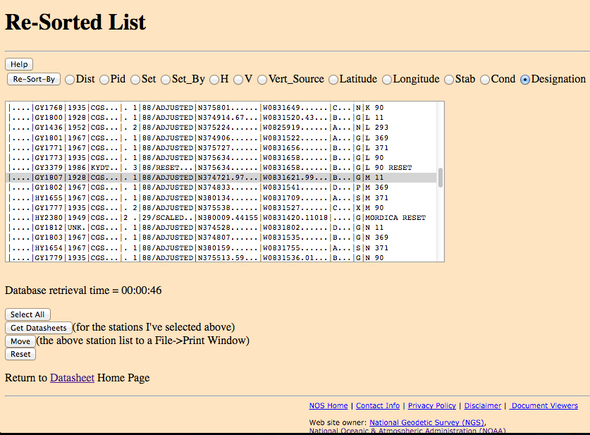
I found this marker on the top step of what’s left of the old bank in Cannel City. It says “U.S. Coast and Geodetic Survey Benchmark.” It shows the elevation as 887.173 feet above sea level. I did some digging and found the National Geodetic Survey website that lists every such official survey marker in the country. These markers contain latitude and longitude data that isn’t written on the marker itself, but recorded in the national database (below). These coordinates play a role in today’s GPS and other mapping projects. Surveys of this sort started more than 200 years ago. This particular marker was set in 1928 by the Coast and Geodetic Survey (CGS). Some markers might be placed by transportation departments or individual surveyors. It’s pretty amazing that this marker is still intact to tell you the truth. Almost everything of value, even stuff that’s worthless, has been pilfered from the old bank. Still, I thought it was an interesting find. I’d never seen one before, and now that I can see the coordinates for all the markers in Morgan County, I might have found myself a new adventure in tracking them down. Such fun!

Leave a Reply